(Kindly supplied by Peter Gordon)
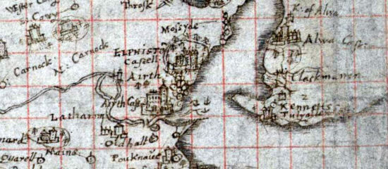
Timothy Pont 1590
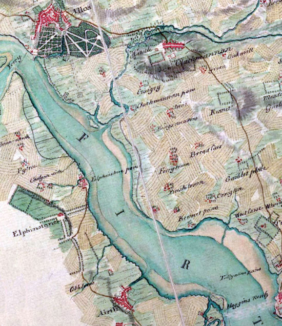
Kennetpans 1747 – Roy Map
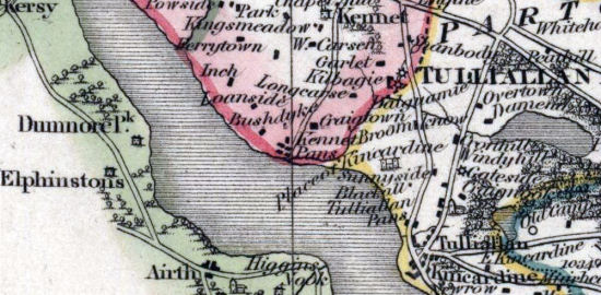
John Thomson’s Atlas 1832
Thanks for these images Peter!
View other maps on our website
(Kindly supplied by Peter Gordon)
Timothy Pont 1590
Kennetpans 1747 – Roy Map
John Thomson’s Atlas 1832
Thanks for these images Peter!
View other maps on our website